
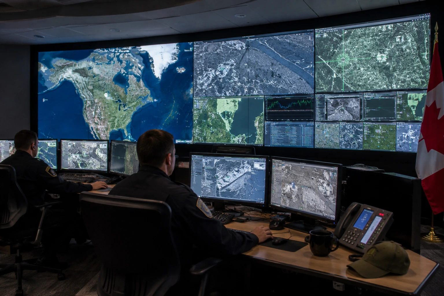
EarthDaily Analytics has secured a Canadian government contract under the Canadian Safety and Security Program to build an AI-powered border surveillance demonstration platform. Developed alongside Defence Research and Development Canada and the Royal Canadian Mounted Police, the initiative combines satellite imagery with automated change detection for national security operations.
Canada is expanding its space-based border surveillance capability through new public-private technological research investments. EarthDaily Analytics, a Vancouver-based geospatial intelligence company specializing in Earth observation imagery and automated analytics solutions, has been awarded a contract by Defence Research and Development Canada (DRDC) to develop an AI-enabled border surveillance demonstration platform. DRDC serves as the science and technology organization for the Canadian Department of National Defence. Funded through the Canadian Safety and Security Program in collaboration with the Royal Canadian Mounted Police (RCMP), Canada's national police force responsible for federal law enforcement and border integrity, the multi-year project, titled Space-based Monitoring, Alerts and Tactical Awareness Knowledge (SMATAK), will culminate in an operational demonstration scheduled for 2027.
The SMATAK initiative integrates daily Earth observation satellite data, automated change detection algorithms, and real-time operational alerting systems with existing government software environments, including ArcGIS and the Tactical Awareness Kit framework. Designed to automatically detect physical anomalies and unexpected land movements across vast, isolated border zones, the system streams actionable intelligence directly to federal analysts and tactical field units. The project builds upon nearly ten years of joint geospatial research between EarthDaily Analytics, DRDC, and the RCMP, following prior research programs under the Maritime Cueing of Optical Satellites and Satellite Border Surveillance initiatives.
Monitoring Canada's vast land borders presents severe geographical and logistical challenges, requiring persistent surveillance over remote, sparsely populated terrain. Transitioning from manual aerial or ground patrols to satellite-driven, automated change detection allows national security agencies to transition from reactive monitoring to predictive situational awareness. Integrating AI-derived alerts into standardized field software streamlines information flows across operational tiers, reducing response times for border security personnel.
For defence technology providers, satellite operators, and geospatial analytics firms, the contract underscores growing public sector demand for dual-use space infrastructure and AI-assisted intelligence tools. By deploying commercial satellite constellations for sovereign security operations, government authorities can scale surveillance capabilities cost-effectively without relying exclusively on dedicated military hardware. Successful completion of the demonstration platform could establish an operational blueprint for allied national security agencies seeking automated, multi-domain border monitoring technologies.
About GlobeNewsInfo
GlobeNewsInfo.com is a business news platform providing latest updates on global business developments, projects, and contract opportunities across diverse sectors and regions. The platform is designed to serve as a trusted source of information for companies, investors, and professionals worldwide.