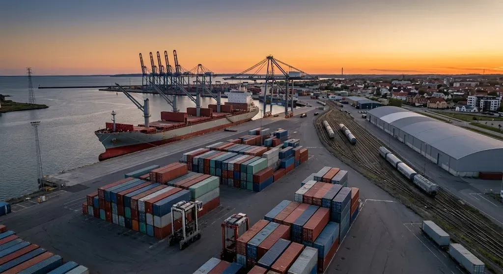
UNITED STATES OF AMERICA —Geotechnical field investigations are underway for the Tampa Harbor Navigation Improvement Project at Port Tampa Bay, led by the U.S. Army Corps of Engineers. Crews are drilling soil borings and extracting subsurface samples along the 42-mile federal navigation channel to assess sub-seabed geological profiles, gather engineering data, and finalize infrastructure design parameters for deepening the channel from 43 to 47 feet.
Port Tampa Bay is Florida's largest maritime port authority, managing deep-water shipping terminals, bulk cargo facilities, and cruise operations in the West Central region. The U.S. Army Corps of Engineers is a federal engineering agency under the Department of Defense responsible for designing, constructing, and maintaining public infrastructure, flood protection systems, and navigable waterways across the United States.
Authorized by Congress in 2024 as the largest infrastructure undertaking in the port's history, the project utilizes an innovative channel-within-a-channel methodology to deepen the central shipping lane while minimizing overall seabed disruption. Project projections indicate the expansion will generate over 21 million cubic yards of dredged sediment, which will be redirected for beneficial use in coastal resilience, beach nourishment, marine habitat creation, and the stabilization of Egmont Key and regional barrier islands.
This infrastructure investment carries significant economic and environmental implications for maritime trade, logistics operators, and regional supply chains. By permitting fully loaded container and bulk carriers to access port facilities, the initiative is estimated by federal evaluations to reduce annual nationwide transportation costs by 90 million US dollars and eliminate over 17 million long-haul truck miles annually by replacing overland freight routing from competing Southeastern ports, thereby avoiding approximately 26,000 metric tons of annual carbon dioxide emissions.