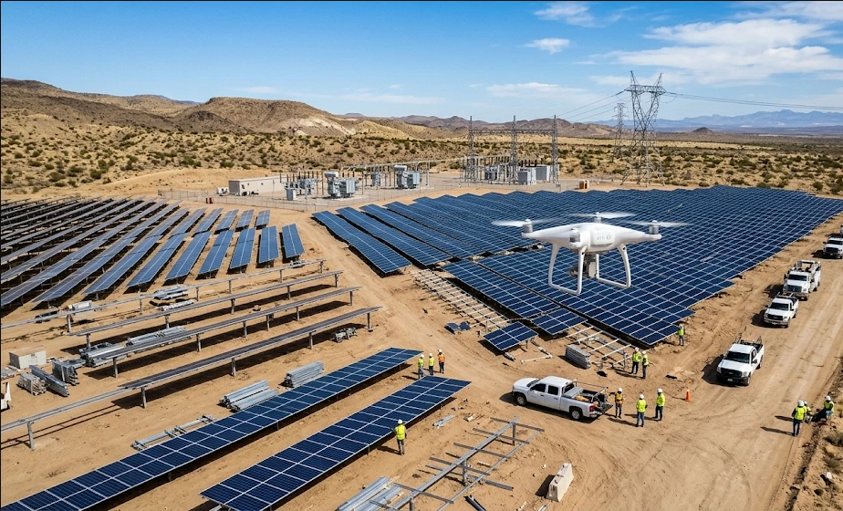
CANADA; UNITED STATES OF AMERICA —ZenaTech has secured initial land surveying contracts valued at nearly US$1 million to support a major United States utility company’s solar infrastructure construction program. The agreement, executed through the company’s Drone as a Service division, establishes a foundation for ongoing topographic data collection. Management projections indicate that successful delivery of these initial assignments could unlock up to US$2.5 million in follow-on revenue over the subsequent two years, alongside separate prospects for post-construction asset inspection.
This development underscores a structural shift in how large-scale renewable energy projects are surveyed and monitored. Traditional ground-based surveying is increasingly being augmented by autonomous aerial data capture. For utility developers and engineering, procurement, and construction firms, this transition translates to accelerated project timelines, reduced labor expenditures, and enhanced data accuracy during the critical planning phases of grid modernization initiatives.
ZenaTech is a multinational technology enterprise specializing in artificial intelligence, autonomous drone platforms, and enterprise software solutions. The organization utilizes an acquisition-led strategy to integrate legacy land surveying and inspection providers into a unified, scalable aerial data network. Its operational footprint spans North America, Europe, the Middle East, Asia, and Australia, targeting both commercial infrastructure and defense sectors.
The broader market implication centers on the monetization of artificial intelligence in industrial workflows. By pairing drone-captured topographic measurements with proprietary machine learning algorithms, the company aims to automate the classification of complex spatial data. This operational model is designed to elevate profit margins significantly while addressing the growing demand for rapid, high-fidelity site assessments in the expanding renewable energy sector. Stakeholders across the clean energy supply chain should anticipate increased reliance on such integrated technological services to mitigate project delays and optimize capital deployment.